0
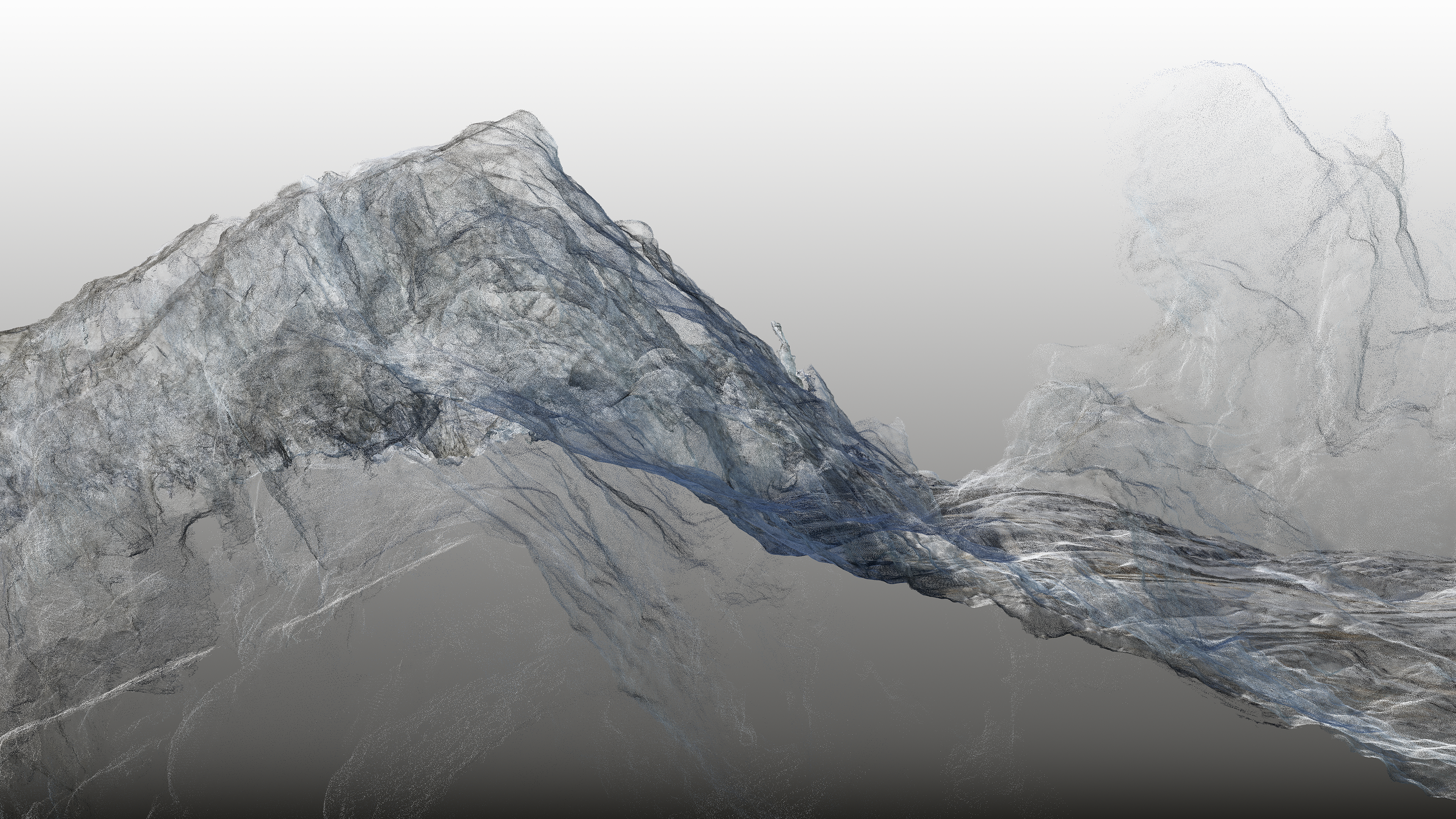
For almost twenty years, British photographer Dan Holdsworth has been blending art, science, and nature to produce photographs which challenge our perceptions and reinvent the notion of landscape. He has been studying many glaciers around the world, notably in Iceland, the Alps and more recently post-glacial rock formations in the Jura. The artist works together with a geologist to gather millimeter-perfect data. The latest photogrammetric and geo-cartographic innovations make it possible for hundreds of photographs taken from a helicopter to be meticulously compiled and plotted using GPS coordinates. The result is 3D imagery called “Continuous Topography” of a mountain in an unprecedented level of detail. However, despite being deeply informed by the uses and applications of the newest technologies, Holdsworth’s work refers openly to the history and tradition of landscape photography and mapping.
Through his use of digital mapping data, Holdsworth expands the photographic process to develop a new aesthetic language that explores the changing nature of human perception in relation to that of our evolving science and technologies, at the interface of the geological and the virtual.